Region: Hudson Valley
Level: Moderate
Harriman State Park, a huge state park located in Rockland and Orange Counties, has 31 lakes and reservoirs and over 200 miles of trails for hikers, runners, bikers and all else to enjoy. My trip started at Bear Mountain base and took me all the way to Lake Tiorati, mostly by way of the Red Cross Trail. You absolutely will benefit from use of a map, which I've linked to here, but do yourself a favor and get the larger maps through REI to better navigate. I crossed paths with a fellow hiker, both of us sort of trying to figure out where we were, and he was carrying a full-sized map which proved to be very useful.
What can I say about this park - it has everything you need for an intense day of activity. Mountains, Tornes, lakes, reservoirs, creeks, deer-spotting, rattlesnakes (seriously...though I did NOT come across any on my trip), and other wildlife. My journey started out following my stop at Peekskill on the metro-north. I taxied to the Bear Mountain Inn where the Bear Mountain hike starts. Instead of heading up, I headed south to the 177E Trail, which has some historical significant due to it being the trail through which British General Sir Henry Clinton's troops marched (he took Fort Clinton and Montgomery). You'll notice several historical landmarks on the trail, mostly old houses and lots from families during the Revolutionary time. 1777E is a very easy, low ascend trail.
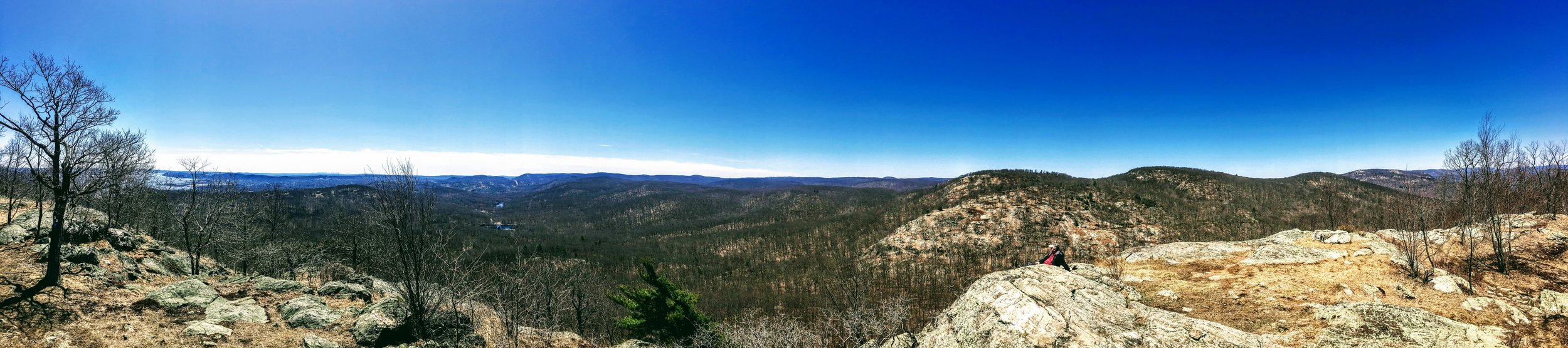
1777E eventually crosses an intersection, where one can head west on 177W, or continue southeast on 1777 - I chose the latter. From here, I continued on southeast down 1777, where you start gaining elevation going up Timpe Pass. After a relatively short ascent, you'll come to an intersection where one can continue on 1777 which will bring you east to the west bank of the Hudson, head east on the Ramapo-Dunderberg which will bring you up to the summit of Dunderberg Mountain, or head west on R-D - which is where I went - which will bring you over the top of Timpe Pass. Timpe Pass has some amazing views, including a look south where you can see an awesome outline of the NYC skyline. The western side looks more into Harriman, and also includes some fantastic views.
NYC skyline in the distance
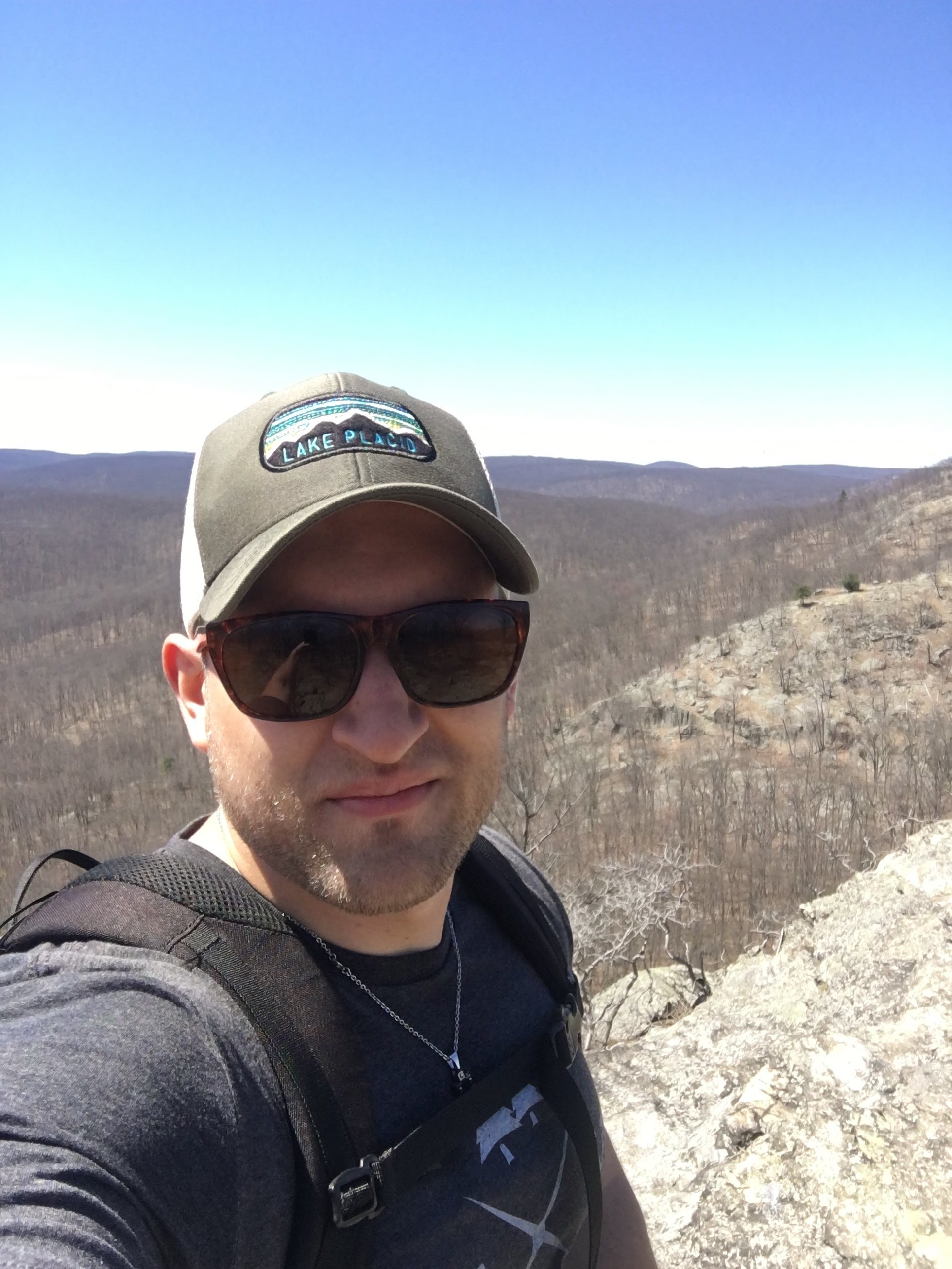
Top of Timpe Pass
Pano from Timpe Pass
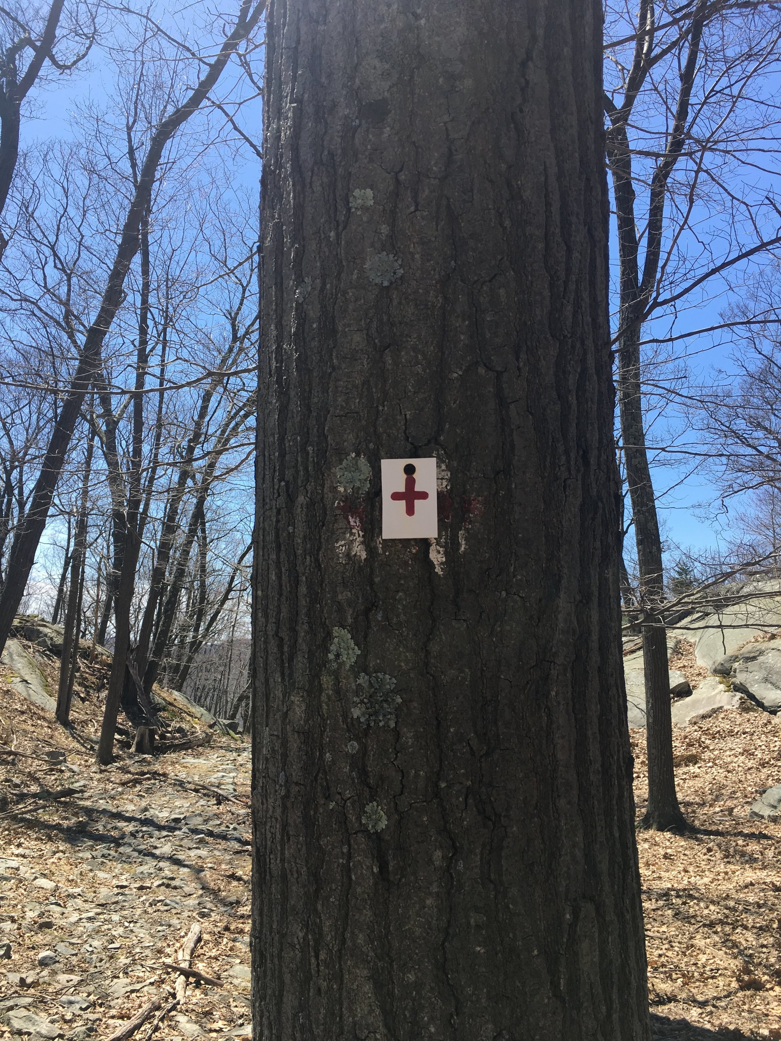
I travelled down the west side of Timpe Pass and eventually found my way to the bottom, where the trail markers start to get a little sparse. I wanted to find my way to the Red Cross trail, so basically you'll need to take a hiker's left (heading southwest in direction) as opposed to continuing hiker's right (basically west, slight northward head) on the R-D. After traveling 50 yards or so, you'll spot a trail marker of an actual Red Cross, which is the route I took to get to my ultimate destination, Lake Tiorati. Red Cross is a 7 mile trail through hilly, mostly forested terrain with many nice creeks and relatively easy/moderate terrain. It is long, and at least on my day, nearly empty of other hikers. I saw a couple trail runners and a small group camped out just off the trail for a late lunch, but otherwise, I didn't see others for about the 3-4 hours I was on the trail.
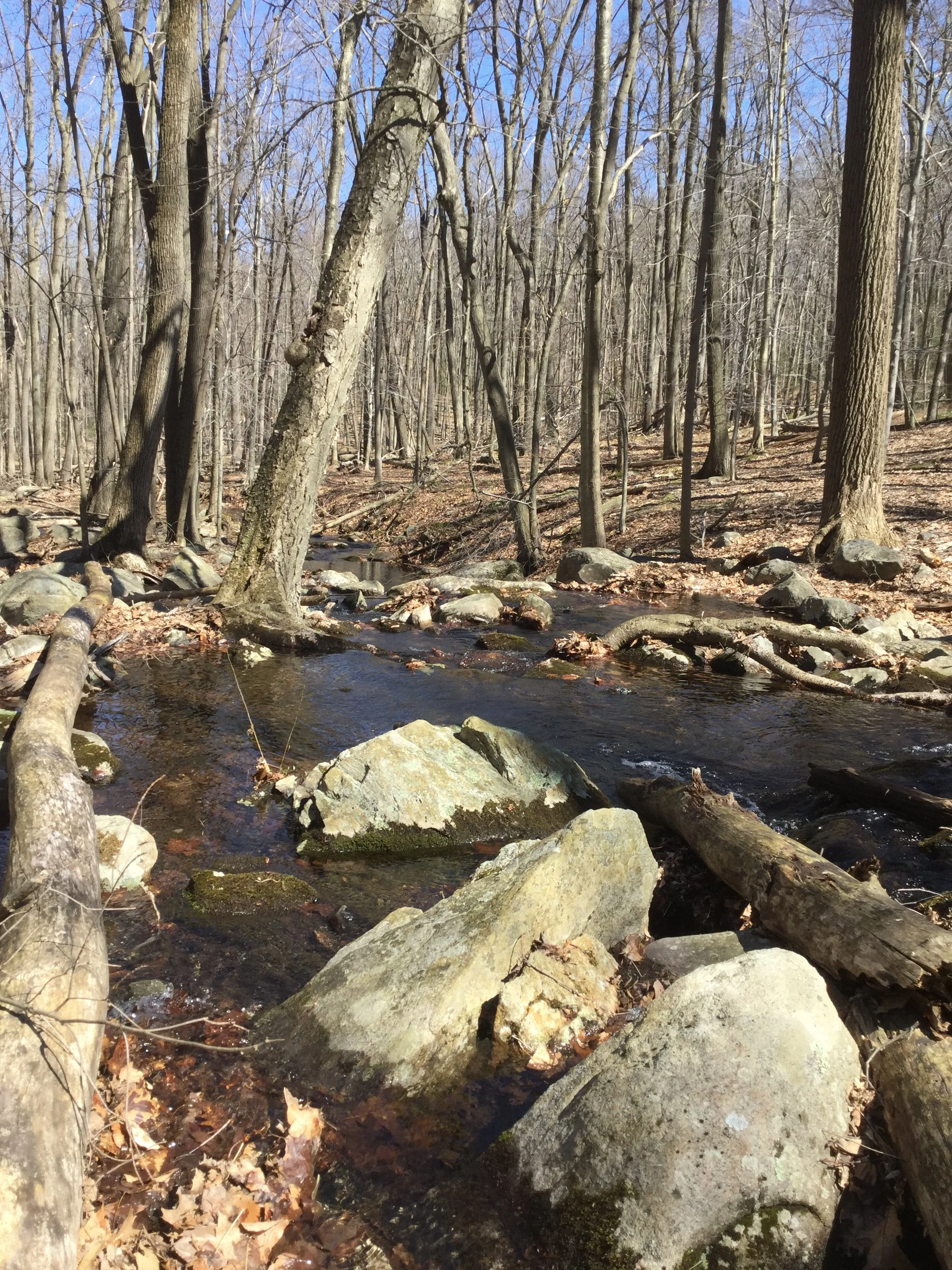
Creek on Red Cross trail
First trail marker for Red Cross after descending Timpe Pass on R-D
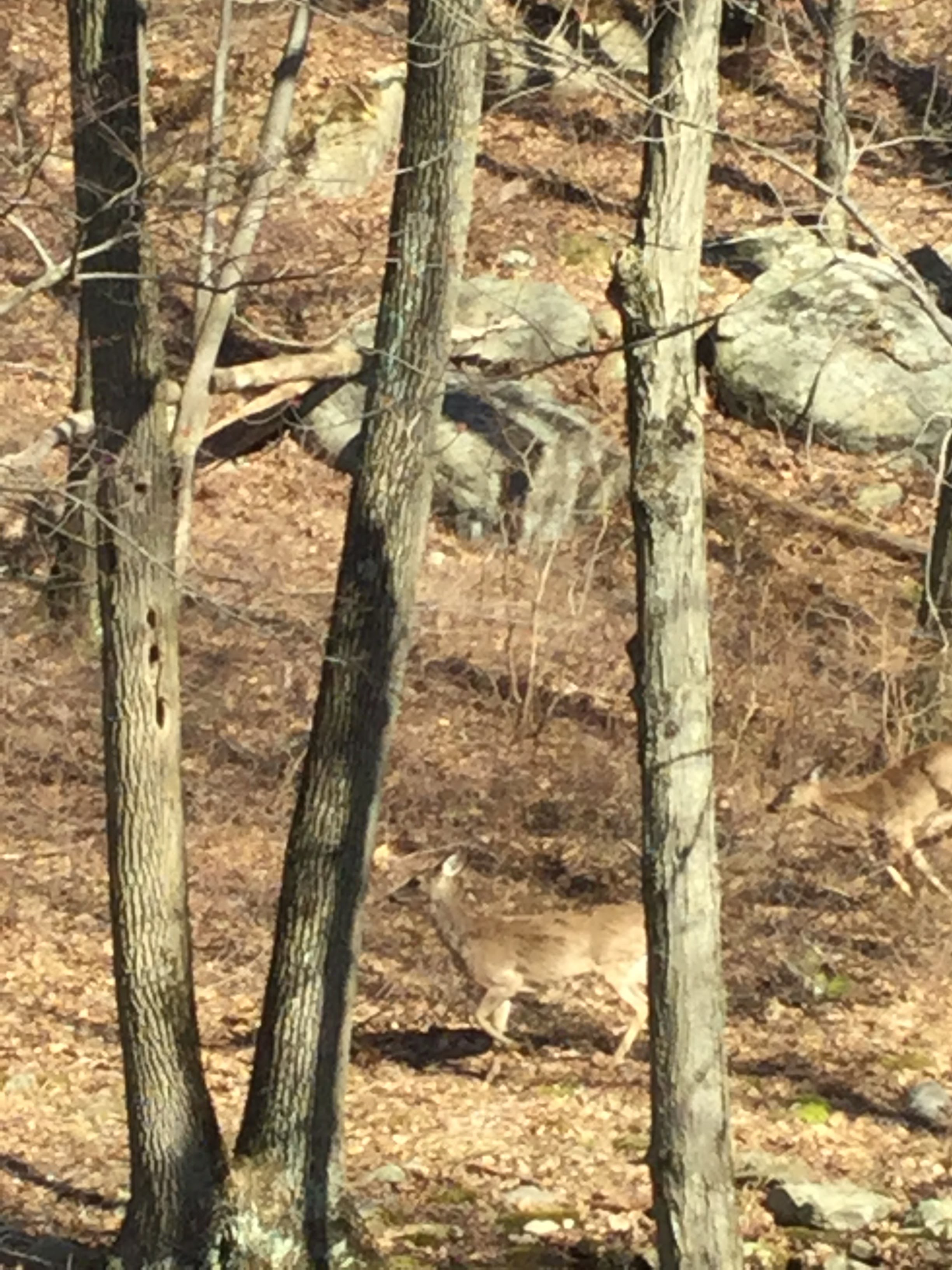
Deer sighting once I backed out of Red Cross
After maybe 5.5-6 miles of the Red Cross trail, you'll come to a road crossing, specifically the Tiorati Brook Road. The Red Cross continues on the other side of the road and it'll take you south, but at this point I wanted to head more northwest and end my hike at Lake Tiorati. The best way to do so was just to follow the road north, which eventually brought me to the southeast corner of the lake. At this point, I snagged a couple photos, made my way up the east edge of the lake, and found the main park office area where there are parking lots, a public beach, picnic tables, etc. for a nice little day on the lake.
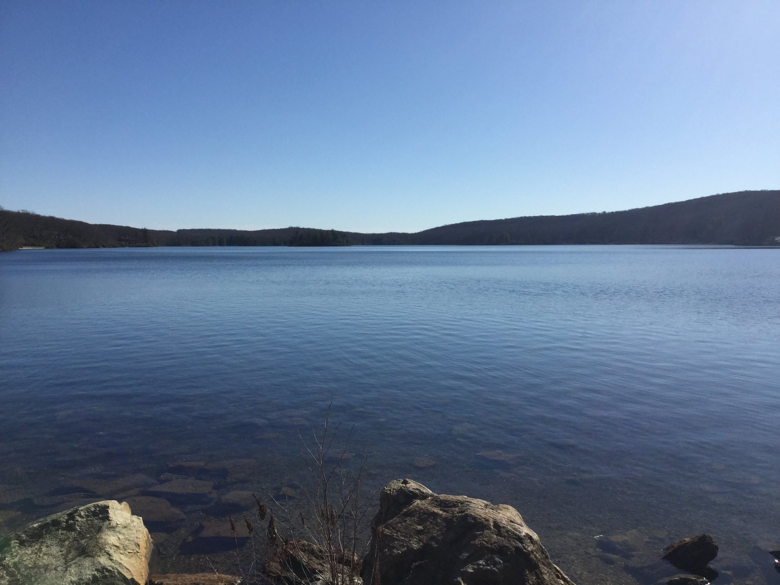
Lake Tiorati from the North end of the lake
Another north end shot
I had a great hike that took most of the day, and at this point, sadly, I wasn't planning on hiking all the way back to the Bear Mountain Inn given the time of day. I called an Uber after hanging by the lake for an hour or so, and made my way back to Peekskill station for the trip back to NYC. The amount of hiking and exploring you can do in Harriman will take you a heck of a lot of trips to this great state park. I'll be sure to head back to try a few different trails, hit up a few other lakes, and enjoy the great terrain in this area of New York.
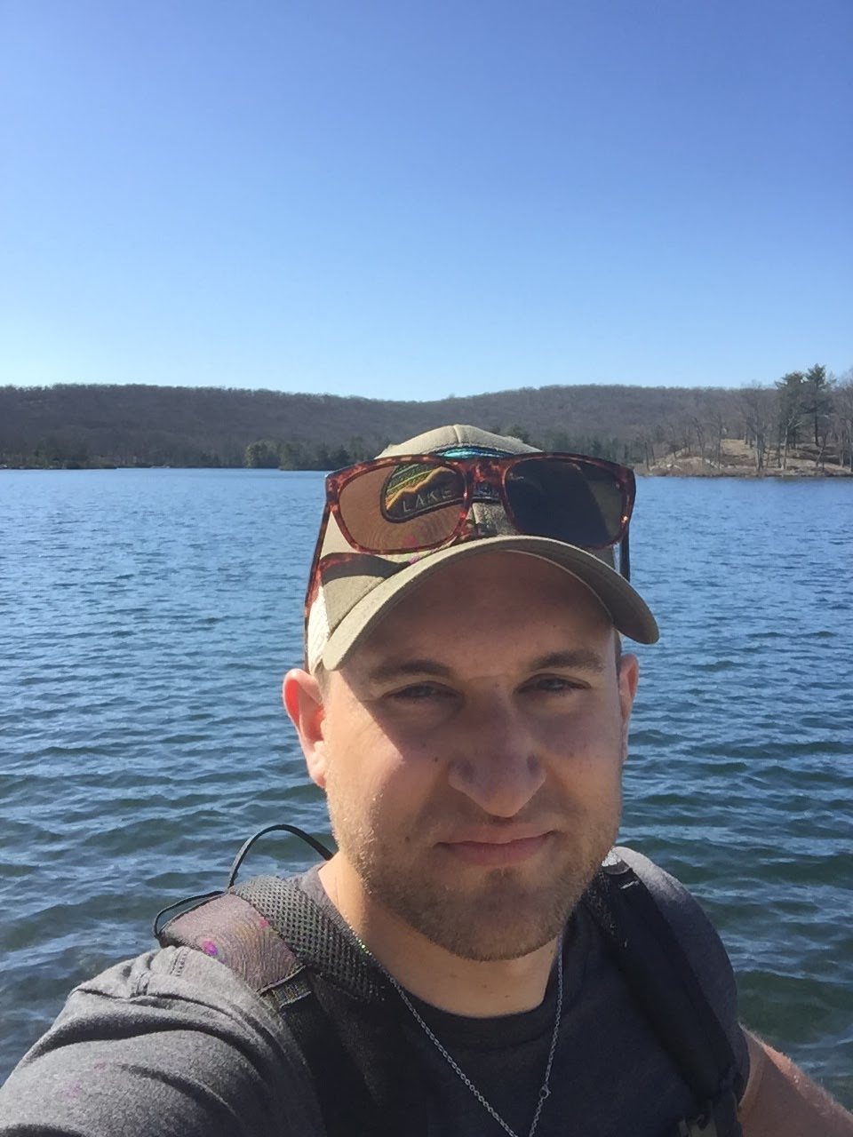
-Kyle Holmes